Updated
How to use the river, dam, canal and water level guides
Besides the 3D map there are plain guide pages that open quickly on any device: rivers, dams, canals and today's water levels. Every river and dam has its own page with a small map and common questions.
See dam storage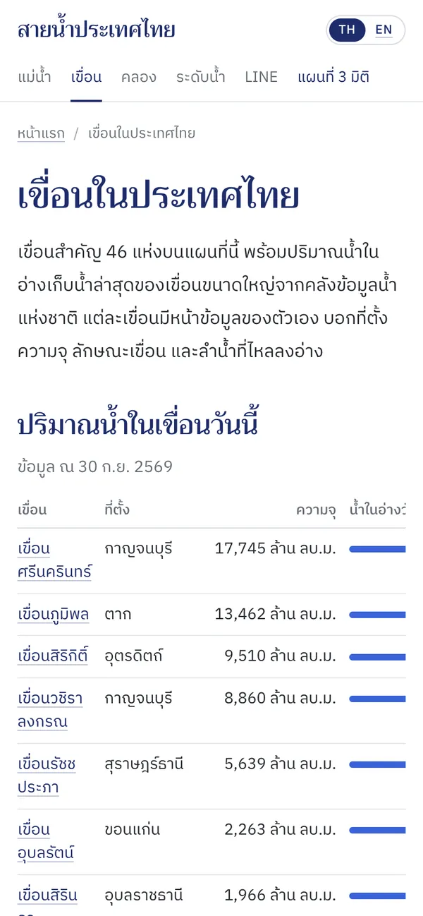
How to use it
Pick a section
The menu has rivers, dams, canals and water levels. On phones it is one row of tabs; the page you are on is underlined.
Open a place's page
Tap a name in a table or list for details: which provinces a river crosses, how long it is, where it flows, where a dam is and how much it holds.
See it on the map or share it
Every page has a button that opens the 3D map with the place selected, and a share button.
Good to know
- Today's water levels
- Counts of stations at each level, the stations over the bank or high, the main rivers and the large dams, refreshed every 10 minutes.
- Dams
- Today's storage for every dam in the daily report, by size, in the same colours as the map.
Where the data comes from
Rivers and canals come from HydroRIVERS and OpenStreetMap; water levels and dams from the National Hydroinformatics Data Center (ThaiWater).
Frequently asked questions
- How are river lengths measured?
- Along the river as mapped, so they can differ from official figures measured at other scales.
- When are these pages updated?
- Water levels and dam storage every 10 minutes; rivers and canals whenever the map data is rebuilt.