Updated
Water near me: the gauging stations and dams closest to you
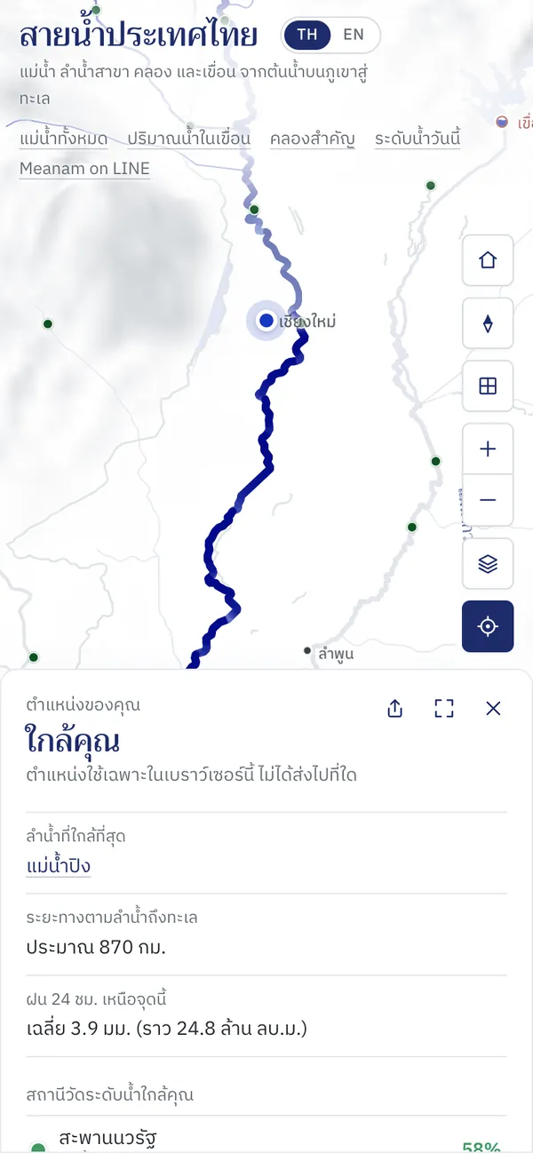
Near me shows the water around you: the nearest waterway and where its water goes to the sea, and the five nearest gauging stations and three nearest dams with today's figures.
How to use it
Press the location button
The target-shaped button in the map's button bar.
Allow location
The browser asks the first time. If you declined before, allow location in the browser settings and press again.
Read what is near you
The map zooms to you and lights the way from the nearest waterway to the sea. The panel gives the distance to the sea, the rain above that point, and the stations and dams near you; tap one for details.
Good to know
- Privacy
- Your location is worked with in your browser only. It is not sent to any server and never appears in the page's link.
- Station percentages
- The level against the channel's bank-full capacity; the colour gives the situation, from critically low to over the bank.
Where the data comes from
Telemetry water levels and dam storage come from the National Hydroinformatics Data Center (ThaiWater), refreshed every 10 minutes.
Frequently asked questions
- Why can't it find me?
- The browser has not been allowed to use your location, or you are outside the map's area. Allow location and press again.
- Does it work on a computer?
- Yes, though a computer's location is usually less precise than a phone's.